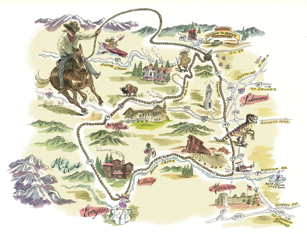
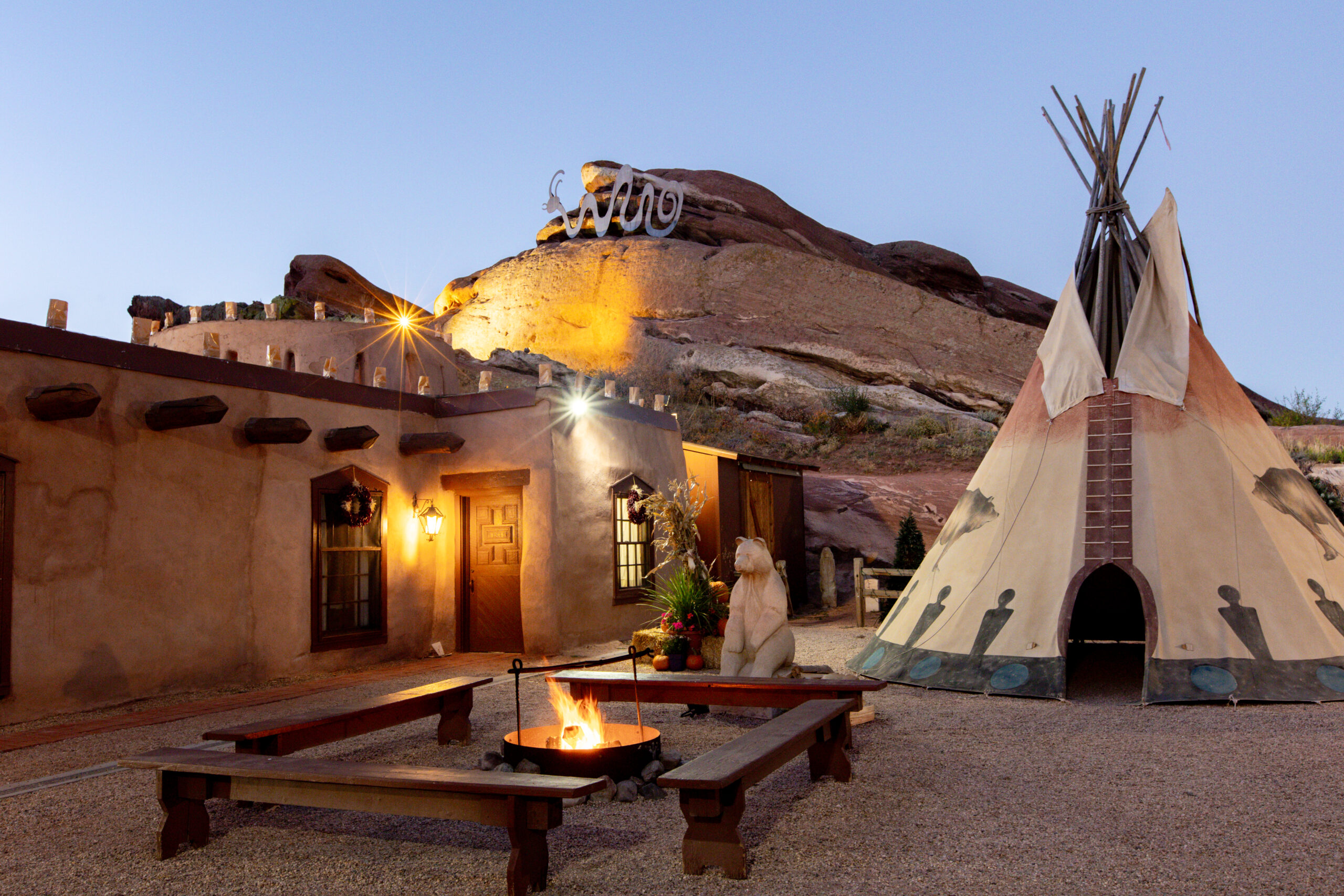
< id="site-title"> Lariat Loop National Scenic Byway

Forty Miles of Western Adventure

Skip to content
  • Home
  • Things to See & Do
  • Maps & Video
  • What’s New on the Loop?
  • How to Plan
  • About Us
  • Facebook
  • RSS

Maps & Video

Download Map

Lariat Loop Map
Clicking on the image or THIS LINK opens a new window with our downloadable map.

Video Tour w/audio

Many possibilities
  • Colorado Historical Society

    Colorado Tourism

    Colorado Scenic Byways

    SCFD


  • Site Map

    • Home
    • About Us
    • Lariat Loop History
    • What’s New on the Loop?
    • Home
    • How to Plan
    • Maps & Video
    • Things to See & Do
    • All Members
    • Join the Lariat Loop
  • Resources & Tools

    • Chambers
    • Download Map
    • Road Conditions
  • SIGN UP FOR OUR NEWSLETTER

    Form Heading

    Lists*

Things To See & Do

  • art gallery
  • galleries
  • landmarks
  • museums
  • recreation
  • restaurants
  • scenic overlook
  • shopping
  • special district
  • theaters
  • Facebook
  • RSS
Click to view the interactive map

Photos for the 2018 Brochure/Map courtesy of our local affiliates, partners, members and photographer David Lieberman.
Reproduction of any portion is strictly prohibited without the express consent of Smart Marketing, LLC. ©2018

  • © 2021 Lariat Loop® Heritage Alliance
  • Denver Website Design
  • Home
  • Things to See & Do
  • Maps & Video
  • What’s New on the Loop?
  • How to Plan
  • About Us